


on earth

THE WORLD!

Vehicle services
Aerial photography And Aerial surveying
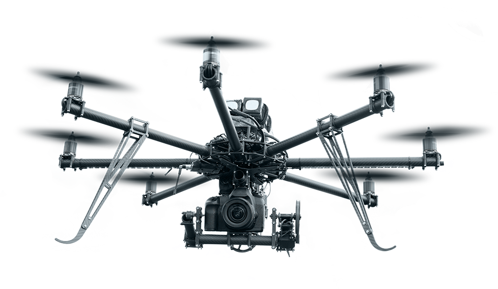
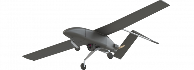
Drones or UAVs can be mainly divided into two main branches, fixed wings and multi rotors.
Each have their prefered applications and usage. And nowadays drones are used in various applications because of their high reliability and low usage cost. Also for their ability to finish large jobs in great speed and with excellent accuracy.
Aerial photography And Aerial surveying
Drones or UAVs can be mainly divided into two main branches, fixed wings and multi rotors.
Each have their prefered applications and usage. And nowadays drones are used in various applications because of their high reliability and low usage cost. Also for their ability to finish large jobs in great speed and with excellent accuracy.

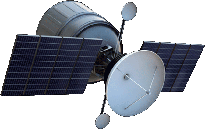
High Resolution Satellite Images
Our company provides high resolution satellite images up to (1 m - 30 cm) ground sample distance (GSD) accuracy, Earth watch, Geospatial Big Data (GBDX) and help you mapping building footprints using the AI edge detection algorithms with accuracy that can reach 90% in ultra crowded places.


Services
Take a look at some of our services
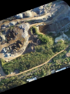
- Volumetric measurements
- Site Mapping and monitoring
- Detailed inspection
- Access to difficult terrain
- Visual & Thermal inspection
- Efficiency improvement
- Crop Spraying
- Crop Inspection
- Tree and land mapping
- Mineral exploration
- GPR measurements
- Risk assessment
Operating Area
Currently providing our services inside the Arab Republic of Egypt (Egy)